***Transferred from the Repository***
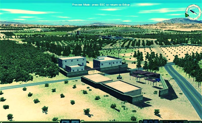
A third large rural map, featuring olive groves, farmland and woods. Two small villages and various farm buildings dot the landscape. A low ridges dominates the map running diagonally across the map.
Map height ranges from 15 to 45 metres.
The map includes “offmap” set up zones, on the east and west edges although these can be deleted if not required.
petewenman


![CM:SF2 – Battle Lane [QB]](https://www.thefewgoodmen.com/tsd3/wp-content/uploads/2021/10/Untitled.png)
