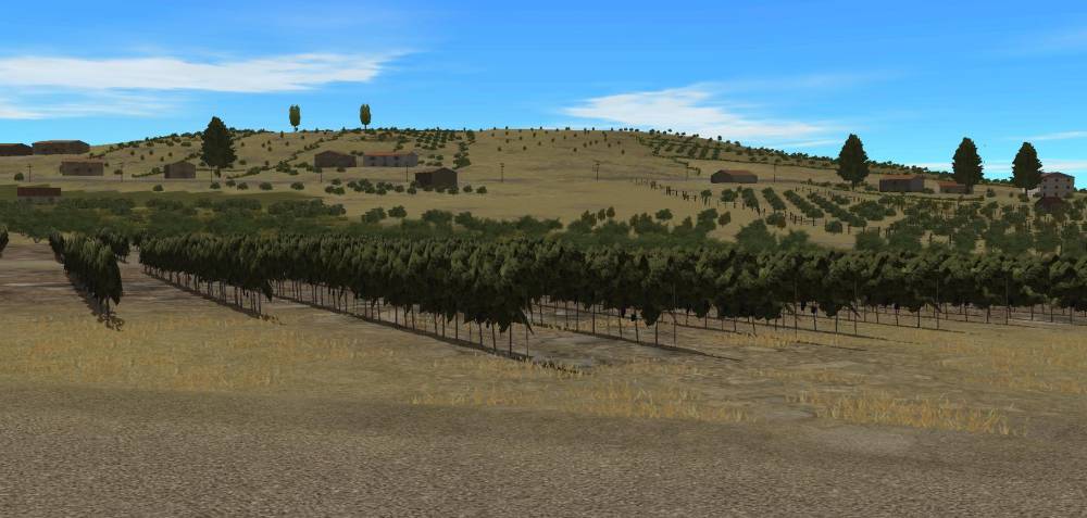
This is just a plain map 1km by 1km based on Google Earch images of Sicily East of Gela. The map is centred around the location: Lat: 37° 3’30.19″N Long: 14°22’26.46″E
| WHAT VERSION OF COMBAT MISSION IS THE FILE FOR? | CM : FORTRESS ITALY |
| WHAT IS THE SCENARIO / MAP TITLE? | Rual Area East Of Gela (1km X 1km) |
| FILE TYPE? | MAP ONLY |
| DOES THE SCENARIO / MAP REQUIRE BATTLEFRONT DLC OR MODS? | NO |
| WHERE IS THE SCENARIO / MAP BASED? | SICILY [ FORTRESS ITALY] |
IanL


It’s a beautiful picture of the map but I believe you forgot the map/.