***Transferred from the Repository***
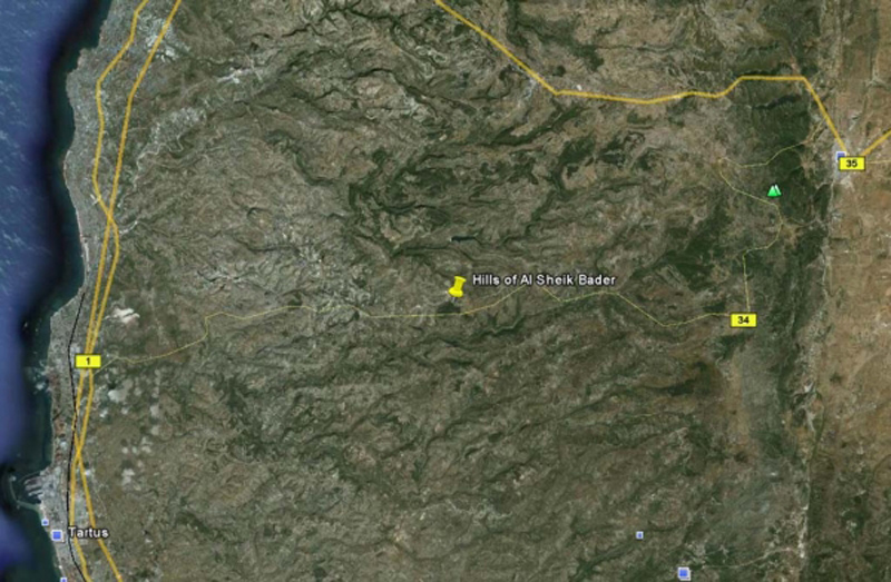
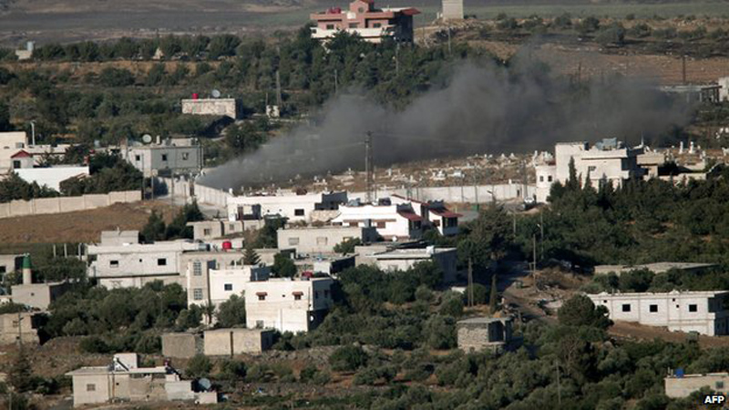
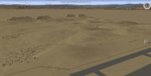
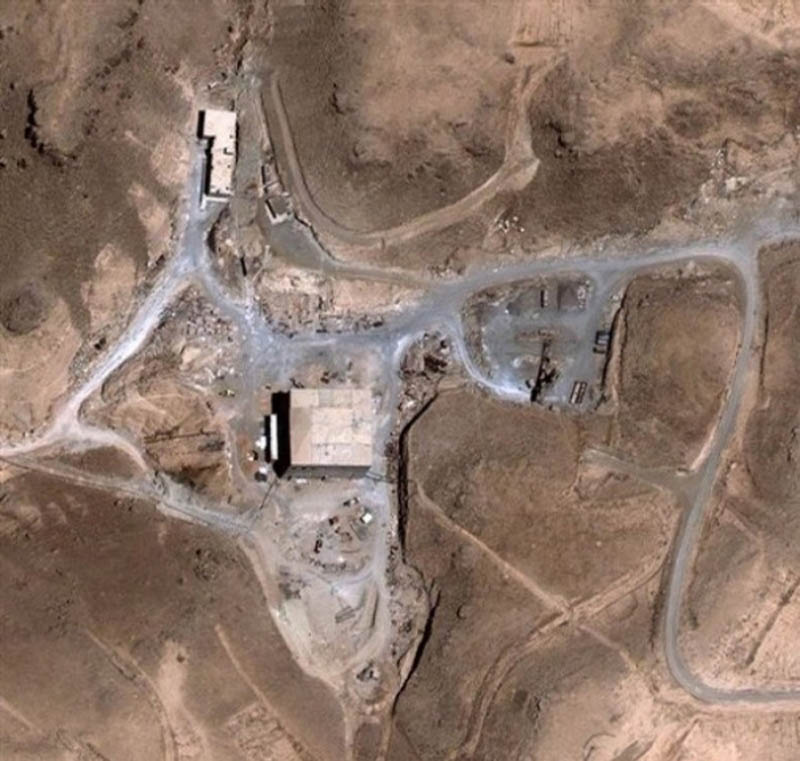
This is a great map for ambush. Small road nr. 34 is next to a hill and forest. Elevation is large and there are several good OPs. Location is based on real life next to a town called Al Sheik Bader between TARTUS (28 km) and MASYAF (35 km).
I designed this map to use it for a British convoy ambush scenario but never had the time to finish the mission. Map is ready and feel free to use/modified for you use.
608 x 464 metres
By de savage

