W
Wigam
Guest
Just watched a doco called "How the states got their shape".
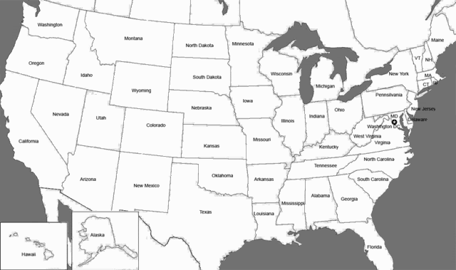
It showed how the eastern states used rivers as boundaries and were odd shaped and waving as they followed the rivers. Rivers being the main form of transportation before roads were being built.
As the railroad was introduced and crossed the USA, the states were made straight and the states were now not defined by rivers.
A small point but was interesting none the less.