Battlefront thread for importing maps from one CM title into another CM title --> The Official Map Conversion Thread
You are using an out of date browser. It may not display this or other websites correctly.
You should upgrade or use an alternative browser.
You should upgrade or use an alternative browser.
SCENARIO DESIGNERS WORKSHOP Making Maps
- Thread starter Badger73
- Start date
More tips and tricks from Battlefront; building and doors --> Modular buildings and DOORs
Thanks for this. I will give it a try!
A helpful discussion at Battlefront forums --> Creating Quick Battle Maps Question
Battlefront forum buildings FY --> Game refuses to 'see' building mod textures beyond 1-8?
Ohh I like the military map one.
Dutch language site featuring 1:25,000 scale maps from 1940 --> Oude Stafkaarten Verzamelen
Perfect for Market Garden area of operations scenario's.
Perfect for Market Garden area of operations scenario's.
The contemporary 1:25,000 maps are a good starting point and at times, the 'best available or even the only option. They are great when intel has added German dispositions. The maps themselves usually contain a note that the contour lines may be inaccurate as indeed they were at critical moments. Examples included Hill 90 at les Hauts Vents, Hill 80 at Buron and Hill 30 that the 507th PIR was supposed to fall back to. None of these three existed. Hill 90 had a contour of only 70+, Hill 30 was one km further west (Shanley actually defending a 16 metre contour 'bump' on a generally downward slope), and Hill 80 at Buron was a flat plane. So contours should be corrected whenever possible with modern contour maps. With a word of caution. Sometimes these may experience 'local' disruptions whenever new highways are created. And in the Netherlands there may be new dykes, canals or even new land. Tricky bits them be. French maps are the easiest to do as a result of near contemporary aerial photos and current topographical maps of all of Normandy being readily accessible.
More map making resources:
A technique discussed at Battlefront to copy maps from one CM title to another CM title.
--> Trial and error that produce CM game map conversions--> The Official Map Conversion Thread
--> Trial and error that produce CM game map conversions--> The Official Map Conversion Thread
Combat Mission Cold War map resource --> Maps for CMCW (large)
Tips and tricks mentioned at Battlefront forums
Can anyone point me in the right direction for a video tutorial that shows me how to set up the timings for reinforcements? Or let me know... would be great thanks... sorry if I've missed a link or post already.
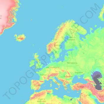
Europe topographic map, elevation, terrain
Visualizing and share of free topographic maps. Europe

 en-au.topographic-map.com
Visualizing and share of free topographic maps. Europe

Europe topographic map, elevation, terrain
Visualization and sharing of free topographic maps. Europe.
Whatever we might currently have is in this thread ---> SCENARIO DESIGNER’S WORKSHOP – AI ScriptingCan anyone point me in the right direction for a video tutorial that shows me how to set up the timings for reinforcements? Or let me know... would be great thanks... sorry if I've missed a link or post already.
I see the cold front of Wisconsin is well in charge here. I'll see myself out.
Should give the CM Auto Editor a mention here.

 community.battlefront.com

Creating Maps with CMAutoEditor
I decided to create a new topic for this because "tool to set elevation in the editor" is no longer really a good description. Finally (from my perspective ) I managed to release version 2.0.0 of CMAutoEditor.https://github.com/DerButschi/CMAutoEditor Woah, Butschi, wait a minute CMAutoWhat? Wha...


