A
Aragorn2010
Guest
Nathan, where can I download Mapping Mission? I would like to take a look at it.
")
 I should really relearn the russian language. - Sorry POS! I want only to ... . What is the verb for wisenheimer/Smart Ass???


Nice job mate..
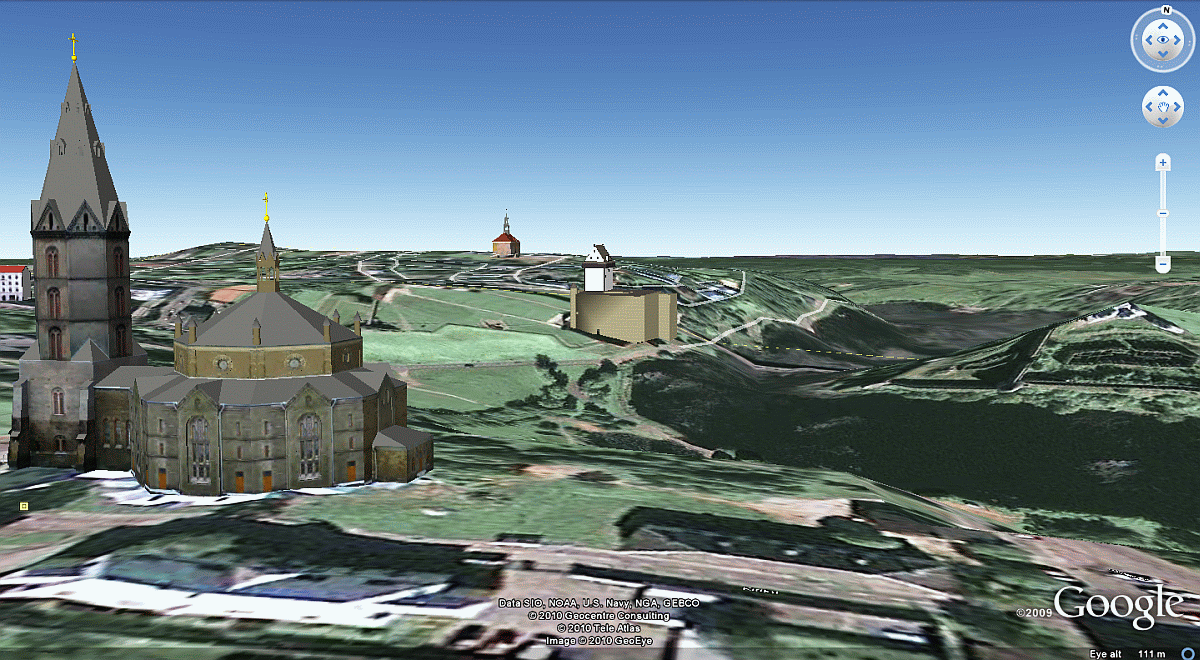
PS- Google Earth is a useful mapping tool if we zoom down to ground level like below, so we can get a good 3D idea of where the low and high ground is, providing we select 'Tools> Options> Terrain exaggeration'.
Here I've set it to maximum so the hills jump out more, but in real life the terrain is not quite so hilly.
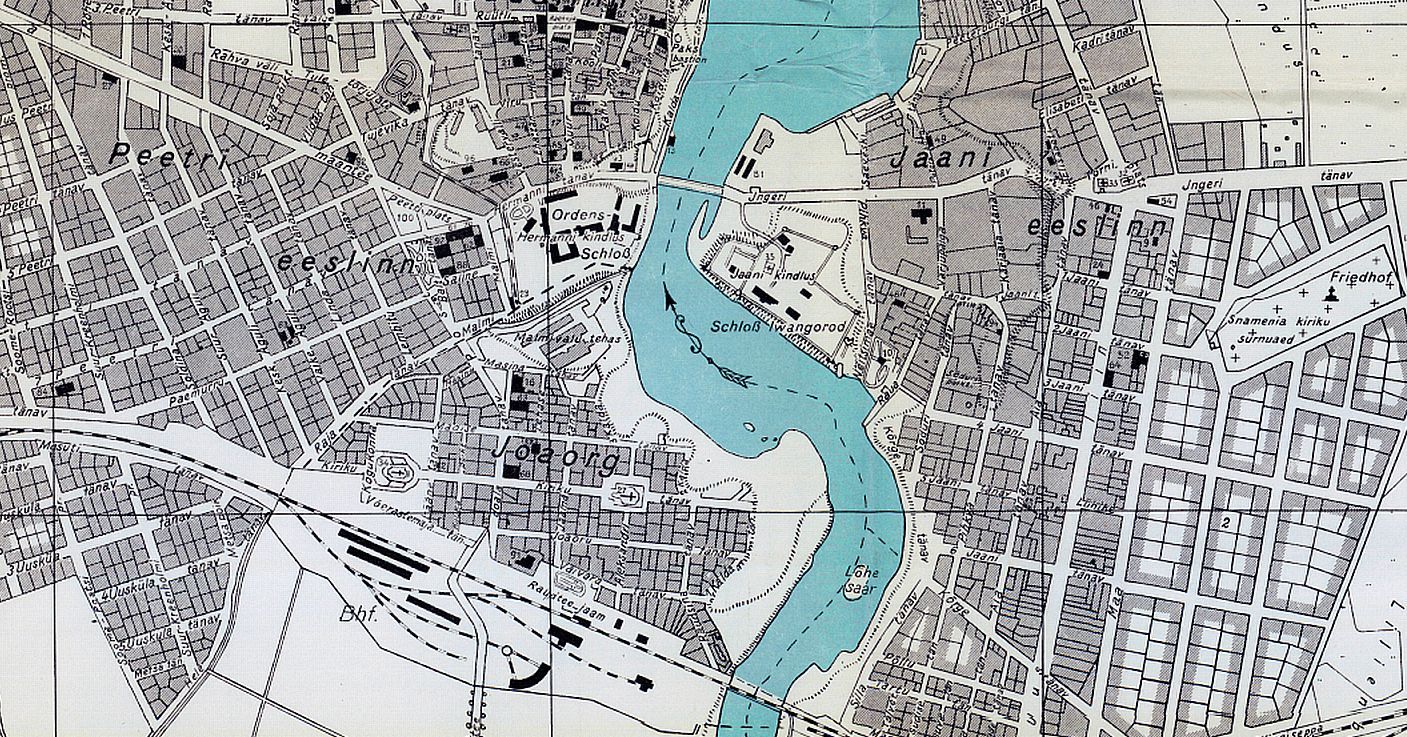
(Alexandr's church on left, Narva Castle in middle distance, and the Town Hall on the horizon)


